![]()
by ROB McMANAMY | April 11, 2017
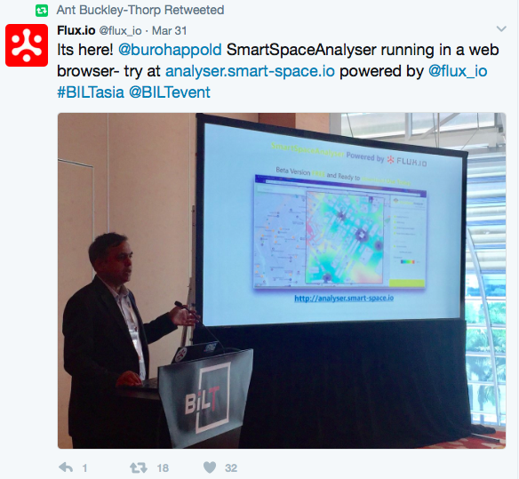
Traveling the 8,400 miles from San Francisco to Singapore must seem even longer when you have a secret you can’t wait to tell the world. But that was the final hurdle two weeks ago for consulting giant BuroHappold Engineering and data collector Flux, who jointly unveiled the fruit of their new partnership at BILT Asia 2017 — the new SmartSpaceAnalyser app for real-time master planning.
“We believe it’s the first spatial analysis app for your browser,” says Anthony Buckley-Thorp, managing partner of the Flux Advanced Services and Technology arm of Flux.io, the Silicon Valley-based, AEC-focused firm that spun off of Google X in 2012. “It’s very exciting and powerful stuff that makes design accessible and engages more stakeholders in design and planning,” he adds.
The aim is to give urban planners, architects, and engineers free access to rich, layered data about the geographic district or area for which their services have been engaged. The complex modeling data analytics come right from the web, within the familiar Google Maps platform, explains BuroHappold in its statement announcing the beta version of the new product, now available at the Flux App Store.
“This is an exciting time for the industry. Real-time analysis and simulation tools will go a long way in transforming how we design and operate the buildings and cities of the future.”
The big data allows users to see how their designs and decisions affect the quality of life, economic value and environmental impact for a given site — measuring vibrations, noise, wind, congestion, etc. And the claim is that SmartSpaceAnalyser will reflect changes in real-time, as the design model is manipulated.
“We have had the Rhino and Revit plug-ins for some time, so the real ‘killer’ news now is this release on the Flux platform,” explains Dr. Shrikant Sharma, Smart Space Director at BuroHappold. “The power of releasing it as a Flux app is that it runs as a web service in the cloud, and offers the massive accessibility of Google Maps platform with ‘live’ integration on the Rhino, Revit and Sketchup platforms.”
Sharma says the new app allows easy access to Rhino-based analysis tools for environmental modeling, journey analysis, footfall modeling, and crowd simulation on the web, with direct integration to BIM platforms via Flux. “The aim is to make these tools so accessible that every design is automatically tested for its performance and impacts, enabling intuitive, collaborative and real-time conceptual design, with ‘live’ feedback. This not only helps us maximize efficiency in integrated multi-discipline analysis, but it also delivers maximum value for our client across the various stages of design.”
According to BuroHappold and Flux, this initial release focuses on the spatial context analysis of the “urban realm”. Future extensions to the tool will offer modeling of environmental and economic impacts, and even estimate the overall happiness of future users of the development.
Last week in Singapore, that first public measure for enthusiasm was already off the charts.

Discussion
Be the first to leave a comment.
You must be a member of the BuiltWorlds community to join the discussion.