 If you took an aerial photograph of Chicago on a hot summer afternoon, it might appear that the whole of the city’s 2.7 million inhabitants are concentrated along its shoreline.
Chicago’s waterfront is stunning, and it’s no exaggeration to say that being close to the lake is at the top of every Chicagoan’s summer list.
The evolution of the city’s waterfront, including its rivers and their branches, is thanks to a group of investors, urban planning committees, and an architect named Daniel Burnham.
Plan of Chicago
In 1909, Burnham published his famous “Plan of Chicago,” a 164-page volume detailing his vision for the Midwest’s largest city. Along with maps and illustrations, his publication made the assertion that the lakefront should remain public space, available to everyone, which it has for the most part to this day.
109 years later, Mayor Rahm Emmanuel announced plans to continue developing Chicago’s waterfront. Aptly named “Building on Burnham,” the initiative aims to expand recreational opportunities along the city’s lake and rivers – the highways of Burnham’s day.
But today, a different kind of highway has come to the fore, one that Burnham might never have thought possible: The Digital Highway.
Waterfront Revolution
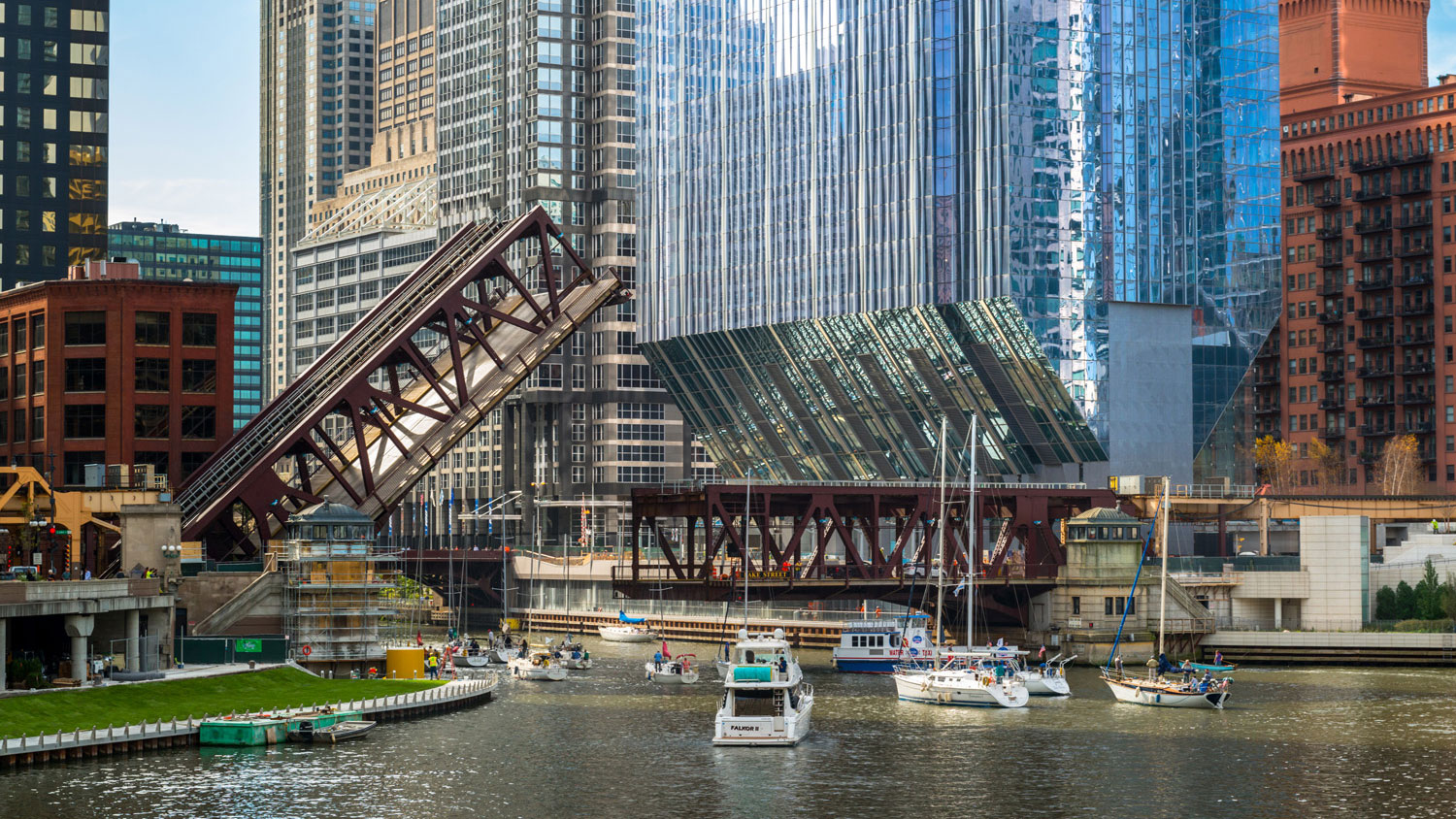
Anyone familiar with the Windy City can attest to its waterfront’s modern upgrade. Take the recently converted Riverwalk, for example. This 1.5 mile-long stretch runs along the Chicago River from Lakeshore Drive to Lake Street. Dipping beneath the city, it is lined with cafes with Internet access, restaurants, and a zero-gravity fountain that offer patrons a sophisticated and sensory experience, while canoe docks and a fishing pond further solidify Chicago as the ultimate city in which to live, work, and play.
Now, further expansion is planned for Chicago’s Second Coast, due in part to an increased public interest in making recreational spaces internet friendly.
“The interest is high,” says Josh Ellis, Vice President of Chicago’s Metropolitan Planning Council (MPC). “I think it’s obvious from places like the 606 and others that people today in the year 2018 and going forward. I’m not even sure they want their physical spaces to be digitally accessible, I think it’s that they assume they will be.”
By The 606, Ellis is referring to the former Bloomingdale Trail, a length of converted railroad tracks that now form an elevated walkway, and a haven for joggers, bikers, and anyone trying to make the best of the city’s 60+ degree-days.
The 2.7 mile-long pathway has become popular with residents since opening in 2015, but more impressive than its serene landscaping and metallic art installations is the fact that commuters can enjoy Wi-Fi access. This is because shortly after the trail’s inauguration, Comcast added 50 Xfinity Wi-Fi hotspots along the route.
“When you’re sitting in some park somewhere that doesn’t have access, you get frustrated,” Ellis said. “You go somewhere else.”
Comcast has ensured that the trail’s Wi-Fi is free to its customers. Non-subscribers can have two free one-hour WiFi sessions per month.
“People can do all the things they want to in the digital sphere in these great public places,” said Ellis. “They can take family photos and post them right away.”
Connected Cities
In 2018, connectivity continues to be a key factor in a city’s growth, relevance, and modernity. In Santander, Spain, the city’s 180,000 inhabitants can download a city smartphone app, which connects to 10,000 sensors enabling services such as parking search, weather monitoring, and a digital city agenda.
These sensors connect to a broad network that collects and processes data to better manage systems and metro areas. Sensors like these offer limitless potential for an urban landscape and can be used in an endless variety of ways, ranging from monitoring and regulating traffic patterns to determining moisture levels in the air.
As more connected devices are integrated into society (currently at more than 8.4 billion and projected to increase to 30 billion by the year 2020), urban planners are busily adapting to this forecast.
Technology in Architecture
But it’s not just Wi-Fi hotspots and smartphone apps that city-dwellers are after; today’s urban planners have consistently shown that a digital-first approach to designing a modern metropolis is essential in keeping with the times.
Take the MPC’s recent initiative as an example. Known as the River Edge Ideas Lab. Sponsored in part by Comcast, this initiative of MPC and Chicago’s Department of Planning and Development invited nine architectural firms with a knowledge of riverfront design to create computer-rendered images of their vision for three key areas along the Chicago River: The Civic Opera edge, Congress Parkway edge, and Airline Bridge edge.
Unveiled to the public in 2017, the conceptual designs are posted on this website. Some 6,700 visitors already have gone to share their opinions about the design concepts. The entire initiative garnered intense public interest, (an estimated 24,000 people viewed the exhibit’s eight locations) and highlighted Comcast’s commitment to providing Internet-based technology to communities in order to drive innovation and growth.
Make No Small Plans
“Make no small plans,” Burnham is famously quoted as saying over a century ago.
Today’s Chicago still reflects a lot of what Burnham imagined – and in many ways beyond what he imagined — but in a day and age in which 49% of the world’s population is connected online, the city is poised to grow innovatively, architecturally, and technologically – proving that making small plans was never in the cards.
Matthew Summy is the Regional Vice President of External Affairs at Comcast.
Discussion
Be the first to leave a comment.
You must be a member of the BuiltWorlds community to join the discussion.