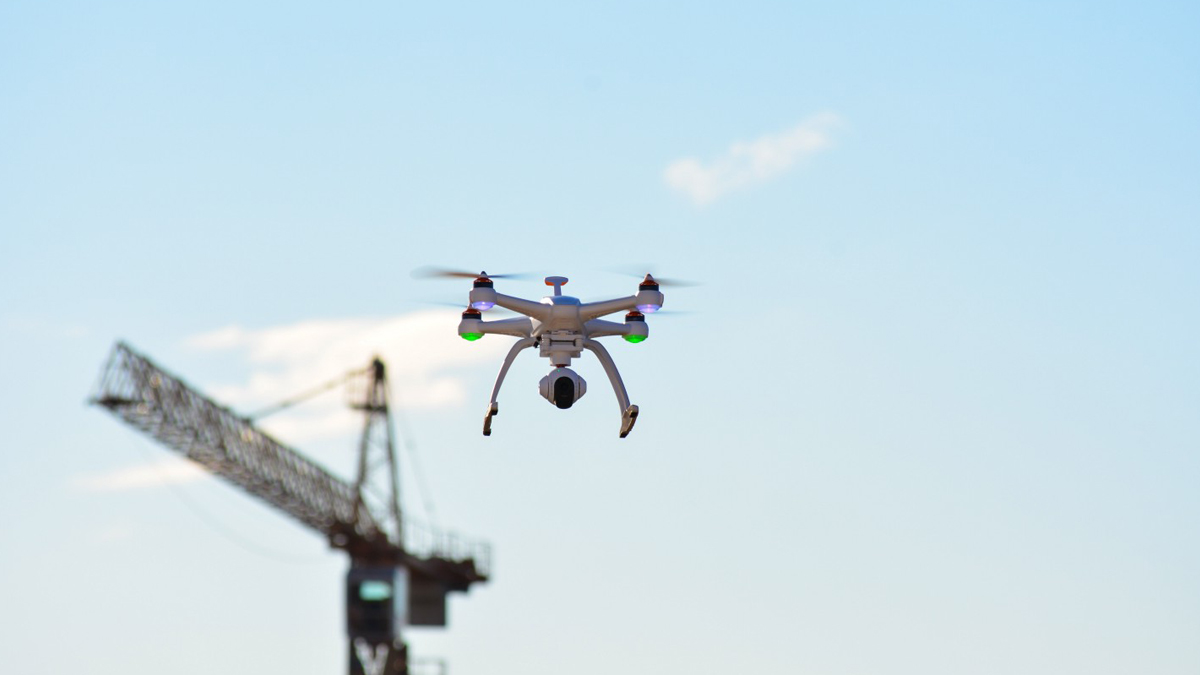
Keeping tabs on a construction project is no small task. Every job has many moving parts. From tracking progress to managing subcontractors, communicating across teams can be challenging — no matter the size of your organization. The good news is, by spending less than an hour each week mapping your jobsite with drones, you’ll gain an entire toolkit to help you and your team work more efficiently, make more informed decisions, and communicate with ease.
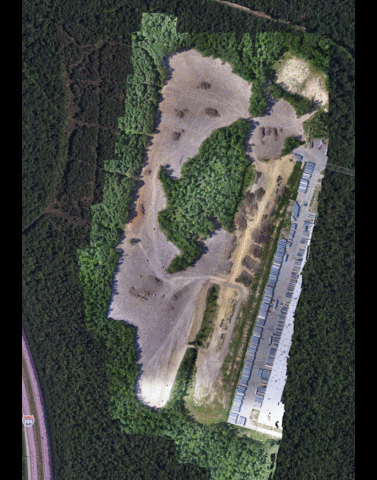
Drone maps and models not only provide an aerial view of your project, but each map includes a rich set of data that can be used to further measure and analyze just about anything on a site. Here are three ways you can improve communication on your jobsite with the use of drones and aerial maps.
1. Project Monitoring and Site Inspection
DroneDeploy, an industry leader in drone mapping software, discovered that 60% of their customers make maps weekly. This regular, overhead view is invaluable when it comes to tracking progress and inspecting for safety issues on construction projects. “Drone maps give my team a bird’s eye view of the site, which looks a lot different than being on the ground,” explained Matthew Forster, Project Engineer for Choate Construction. “It gives them a full picture.”

Although nothing replaces boots on the ground, weekly drone maps can significantly reduce the amount of time you spend walking an entire site for the purposes of inspection and monitoring. If an issue stands out on the drone map, and warrants closer inspection, software like DroneDeploy provides built-in annotation tools, allowing you to mark the exact location of the issue and make shareable notes for efficient follow up
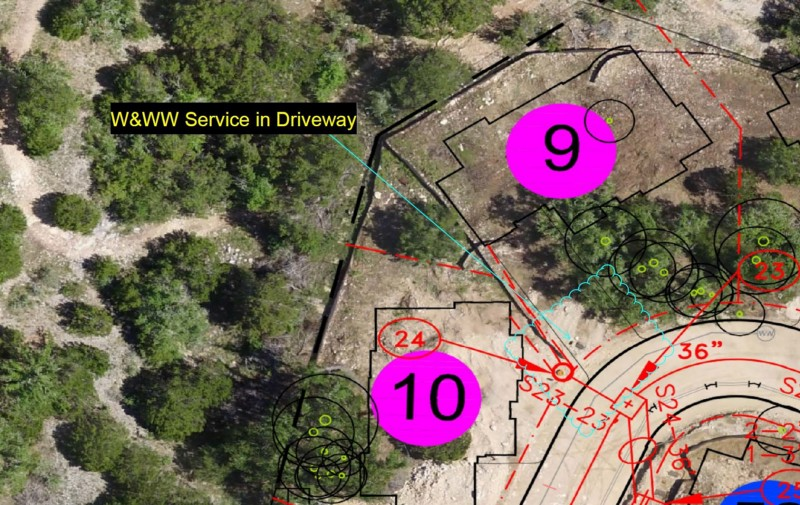
For more advanced oversight, you can import and overlay site plans right in the DroneDeploy interface, or export your maps into industry software like BIM, GIS, and CAD. You can easily export your data in the format you need or use open APIs to sync your data with everyday tools.
Contract Project Manager Nick Johnson of Tilt Rock of Texas does this to help him manage large, custom home projects. Homeowners make frequent changes to house footprints, models, and orientation, so Johnson overlays drone maps with utility, wastewater, and communications plans to help him can catch conflicts with services before they actually happen and redirect them at minimal cost.
“Aerial imagery identifies conflicts I wouldn’t normally see from the ground level. Now, I find out about conflicts in a matter of days, instead of months.”- Nick Johnson, Project Manager, Tilt Rock of Texas
2. Take Volume and Area Measurements, Estimate Stockpiles, and Monitor Earthwork
Every location on a drone map is geotagged, so you can take basic measurements almost instantly, from any device. Many teams use standard drone maps, combined with built-in tools in software like DroneDeploy’s, to take basic area and volume measurements and estimate stockpiles for on-the-go decision making.

For situations that require centimeter-level accuracy, ground control points (GCPs) can be added to a map. These marked targets help mapping software accurately position your map in relation to the real world and afford the accuracy needed to make precise volumetric and linear measurements.
“I can tell how many square feet of roof we’ve put down, how much square footage of concrete is left to pour,” Ryan Moret, Field Solutions Manager at McCarthy Building Companies, said. “If we’re trying to figure out truck access, we can measure the width of a road or gate or how much room we need to clear out for material to make the site clean and organized.”
3. Share Insights, Align Teams, and Inform Stakeholders
Drones make collaboration and information sharing, both internally and externally, easier than ever before. DroneDeploy, for example, offers a platform that is cloud-based, so it’s easy to share annotated maps between team members, or keep external stakeholders up-to-speed on the progress of a project.
In contractor meetings, having a clear display of any current site issues is a powerful communication tool. Likewise, having an up-to-date drone map helps distribute information efficiently, even among large teams. Streamline the decision-making process by referencing a drone map any time changes need to be made to a project.

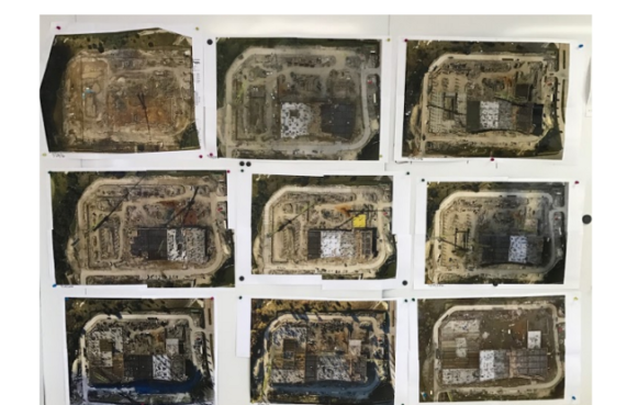
McCarthy Building Companies uses drones in many high-tech ways, but at the end of the day, “paper is still the common denominator for jobsites,” says Moret. On every McCarthy site, the wall of the job trailer is covered with weekly drone maps posted in sequence, giving anyone who walks into the room a clear picture of the project’s progress over time, as well as a snapshot of any current issues on the site.
“The trades love it, being able to walk up to the wall and see nine weeks of construction photos,” Moret said. “They pull these up in every sub meeting, every owner meeting. We have data from that week to show contractors, ‘hey, the site’s a mess; you guys need to go clean it up.’ You can see rebar spread out all over the place, so there’s no arguing. They see it for what it’s worth.”
BuiltWorlds partnered with DroneDeploy to bring you this article. You can read the full version of this piece here.


Discussion
Be the first to leave a comment.
You must be a member of the BuiltWorlds community to join the discussion.