As a result of inaccurate or obsolete data on below-ground assets, an underground utility line is hit on average every 60 seconds in the United States, according to the American Public Works Association. To solve this problem, Chicago built a capacity to map its subterranean side block-by-block. City Tech Collaborative, in collaboration with a number of government, engineering, utility, software, and mapping partners has created a new underground infrastructure mapping (UIM) platform.
Mapping Subterranean Chicago
Project Gallery

Project Features/Advancements
-

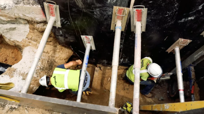
Cityzenith has developed a mapping software platform as a part of City Tech Collaborative's UIM project that helps to visualize the precise location of crucial underground infrastructure. As engineering firms and utilities open holes in streets or sidewalks, workers simply take a digital snapshot of the tangle of pipes and wires below. The image is then scanned into the mapping platform, which extracts key data points from it: namely, the depth, height, and width of the pipes or lines in the photo. That 3D data is layered onto a digital map of Chicago’s streets. Over time, as more holes are punched open and more images get translated, the platform can extrapolate the layout of other underground areas that haven’t been ripped open -- and with continuous refinement and reconfiguration, it can do so with increasing accuracy.