Recent data suggests that more than half of typical construction projects finish late and over budget. With numbers like that, it’s no surprise that project managers on jobsites of all sizes are adding drones to their toolkit.
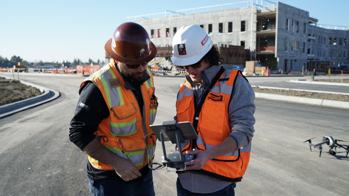
Drone imagery is a game-changer when it comes to managing day-to-day operations on a job site. Aerial insights improve progress tracking and help catch problems early — before they become costly or add weeks to your timeline. By spending less than an hour each week mapping your job site, you gain access to an unprecedented amount of knowledge about nearly every aspect of your project.
Here are five ways to keep your next project running on time and under budget using drones…
1. Track weekly progress and generate photo reports
Weekly drone maps reduce the amount of time spent walking a site to monitor, track progress, and inspect for safety issues. It’s also easy to repeat flights each week for consistency and create a comprehensive visual record of a project.
“If I need a contractor to be aware of a design change before he lays pipe, I simply walk over to him with my tablet, blow up a particular section of overlaid plans, and show him exactly what he needs to know.” — Jesse Creech, VDC Coordinator at Brasfield & Gorrie
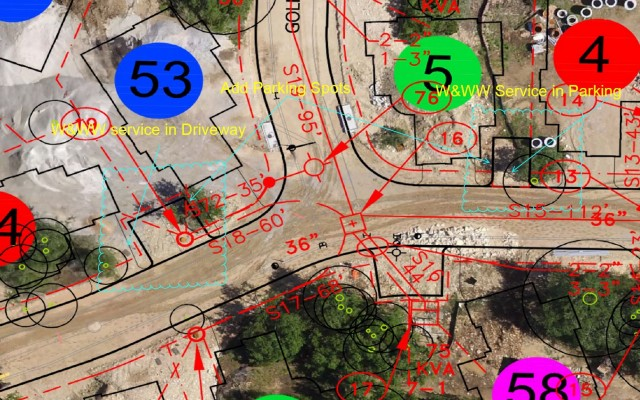
2. Compare site conditions to plans with map overlays
For more informed planning, overlay drone maps with site plans such as utility, wastewater, and equipment clearances. Compare real-time site conditions against plans. This helps catch deviations early and redirect them at minimal cost. For more advanced oversight and planning, export drone maps into BIM, GIS, and CAD software.
3. Communicate more effectively and share information with your team
Drones simplify communication and information sharing, both internally and externally. Aerial imagery keeps entire teams aligned and informed with up-to-date, easily digestible visual data. It’s beneficial to use cloud-based software, so it’s easy to share annotated maps between team members in real-time from the field, or keep external stakeholders up-to-speed on the progress of a project through share links and interactive 3D models of a jobsite.
4. Bring the job site to the office for better collaboration
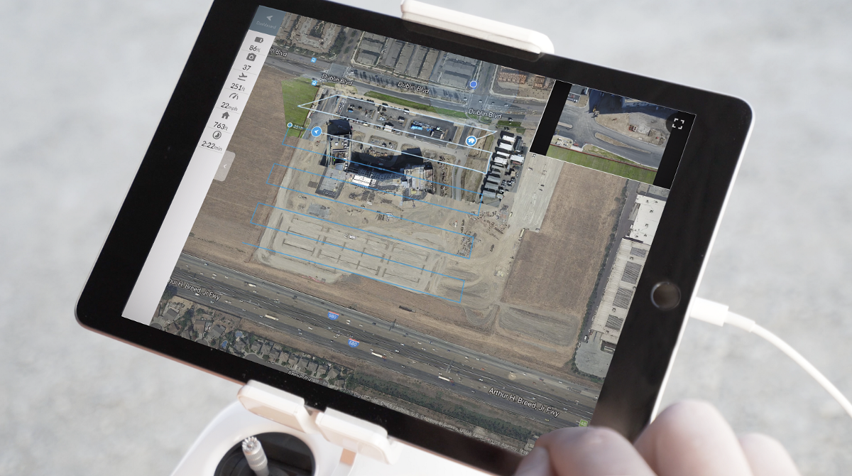
Streamline collaboration and enhance the decision-making process by referencing changes on a real-time drone map. DroneDeploy‘s Live Map, for example, enables you to generate a map of your site in real-time, so you’re working with up-to-date information. By doing this, you can bring the jobsite back to the office and easily reference current site issues during contractor meetings. This makes it easy to convey changes and distribute information, even across large teams.
5. Manage subcontractors more effectively
Reference real-time maps or daily quality assurance checks, before subcontractors even leave the site. Maintain accountability, preserve subcontractor relationships, and negotiate timely solutions that minimize project downtime.
This article was brought to you in partnership with DroneDeploy.
Discussion
Be the first to leave a comment.
You must be a member of the BuiltWorlds community to join the discussion.